7-15 Cataumet Greenway
TRAIL MAP for Cataumet Greenway
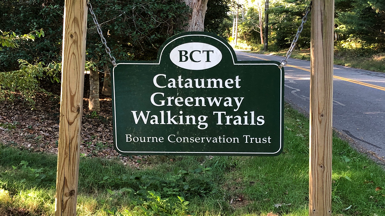
Cataumet Greenway, approximately 95 acres, is comprised of several parcels joined together to provide a network of trails through varying habitats. It is home to numerous species of wild animals and a variety or wildflowers. A sheep trench from an era gone by can still be seen at various point along the trail. Included is Red Brook Pond Conservation Area (Map 6), Cataumet Center (parcels 7-15), and Lawrence Island (Map 16).
7 - Dimmick Field C.R. - 3 privately owned acres of rolling field used for grazing with Conservation Restrictions held by the BCT. It is bordered by a split rail fence and will be maintained as a field in perpetuity.
8 - DeNormandie Woods - 11 acres of rolling woodland donated by Philip and Tina DeNormandie in 1980. This donation was the first land acquired by the BCT. Watch for Lady Slippers in the spring.
9 - Joyce Path - Donated by the Joyce family in 1989 to connect DeNormandie Woods and Broyer Conservation Area. An additional acre was purchased in 1999 with member donations.
10 - Broyer Conservation Area - 12 acres of pine and mixed hardwoods, owned by the Town of Bourne and maintained by the BCT. Parking is available along the west side of Depot Road near the trailheads.
11 - John E. Handy Conservation Area - 4 1/3 wooded acres, 1 acre acquired with member donations, the remaining acres donated by Brad and Martha Townley and George and Pam Christodoulo in 1986. The 1/4-mile trail winds from Depot Road through a cedar grove and terminates at County Road. Parking is available on the west side of Depot Road.
12 - Robnson Conservation Area - 29 acres consists of 18 acres owned by the Town of Bourne and maintained by the BCT and 11 acres purchased in 10998 from Tom Kingman and member donations. The trail winds through mixed hardwoods, pine, spruce, uplands and wetlands. Parking is available at Cataumet Depot or Dimmick Waterfront (red Brook Harbor Road).
13 - Dimmick Waterfront - 2 1/2 acres of lowlands donated by the Dimmick family. A stone bench (Ferne Robinson memorial) in this field of wildflowers ad grasses is an ideal spot for viewing sunsets over red Brook Harbor.
14 - Cataumet Depot - A gift from Philip and Tina DeNormandie in 1989 with a historic building available for community use. an adjacent plot was a gift from George F. Ballentine, Jr., and an additional acre was purchased with member donations. Parking is available here with easy access to the trails of Cataumet.
15 - Washington Park Playground - Playground owned by the Town of Bourne, across from Cataumet Post Office.
Cataumet Greenway Slideshow
Click link, or image below, to open slideshow in new window.
TRAIL MAP for Cataumet Greenway
